What to consider before choosing
Typical environments include:
- Construction sites
- Infrastructure corridors
Aerial survey workflows combine planned flights with suitable cameras and data processing. Compare the deliverable and conditions rather than flight duration alone.
Typical environments include:
These robots are listed for this task. Check that they suit your site.
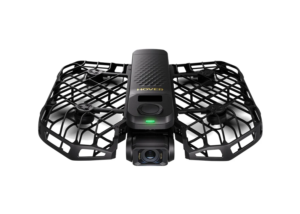
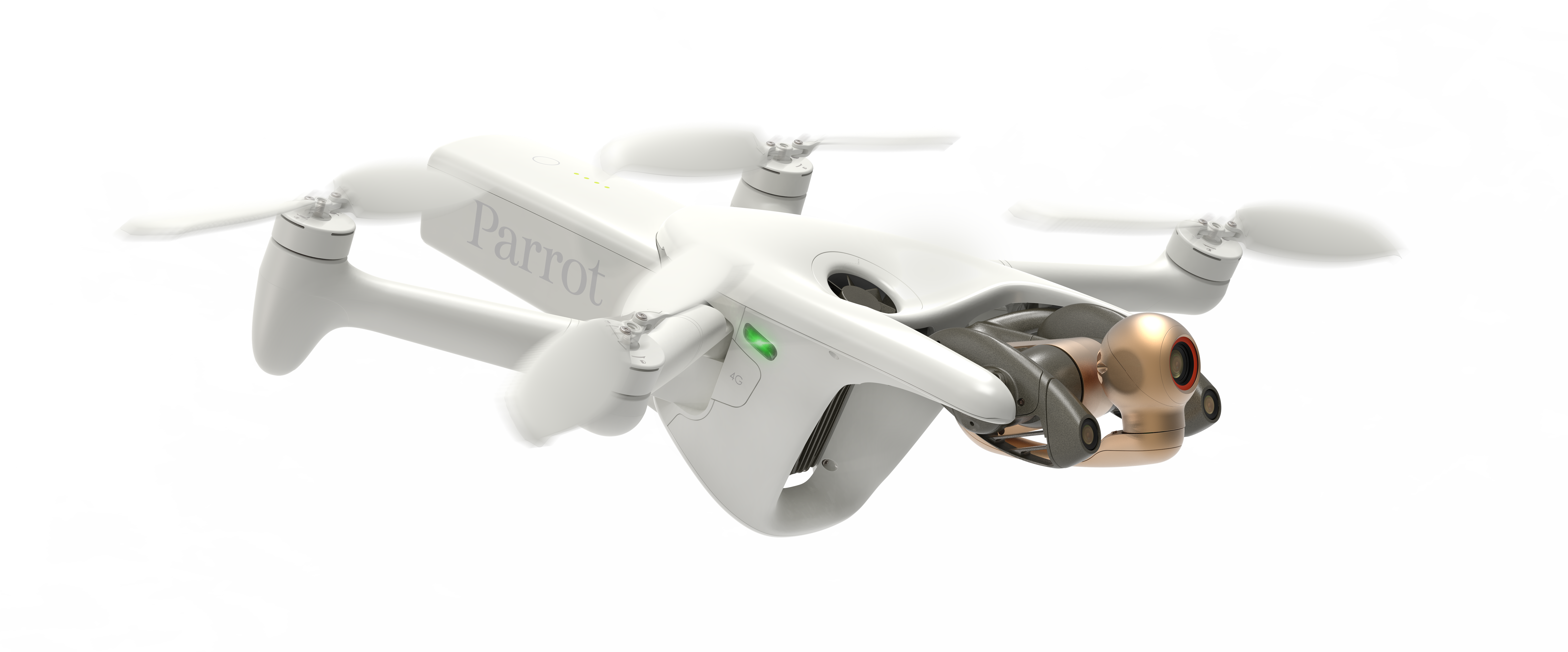
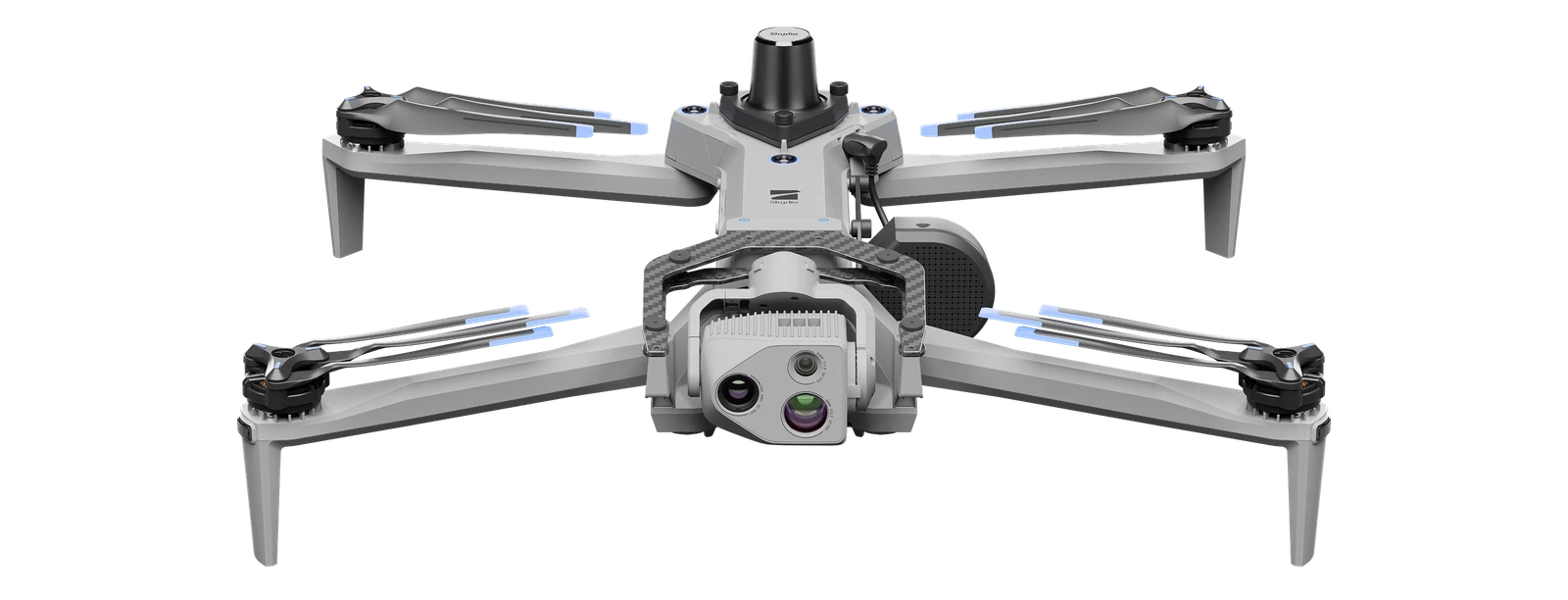
Infrastructure imaging
| Robot | Price / status | Published detail | Check before choosing |
|---|---|---|---|
| HOVERAir X1 PROMAX | ≈ USD 766.66 | Mass including battery: 192 g | Not waterproof |
| Parrot ANAFI Ai | USD 5,350.00 | Aircraft mass: 898 g | Cellular service and local flight permissions affect deployment |
| Skydio X10 | Price on request | Weight: 2.11 kg | Flight permissions and operator oversight remain necessary |