
DJI
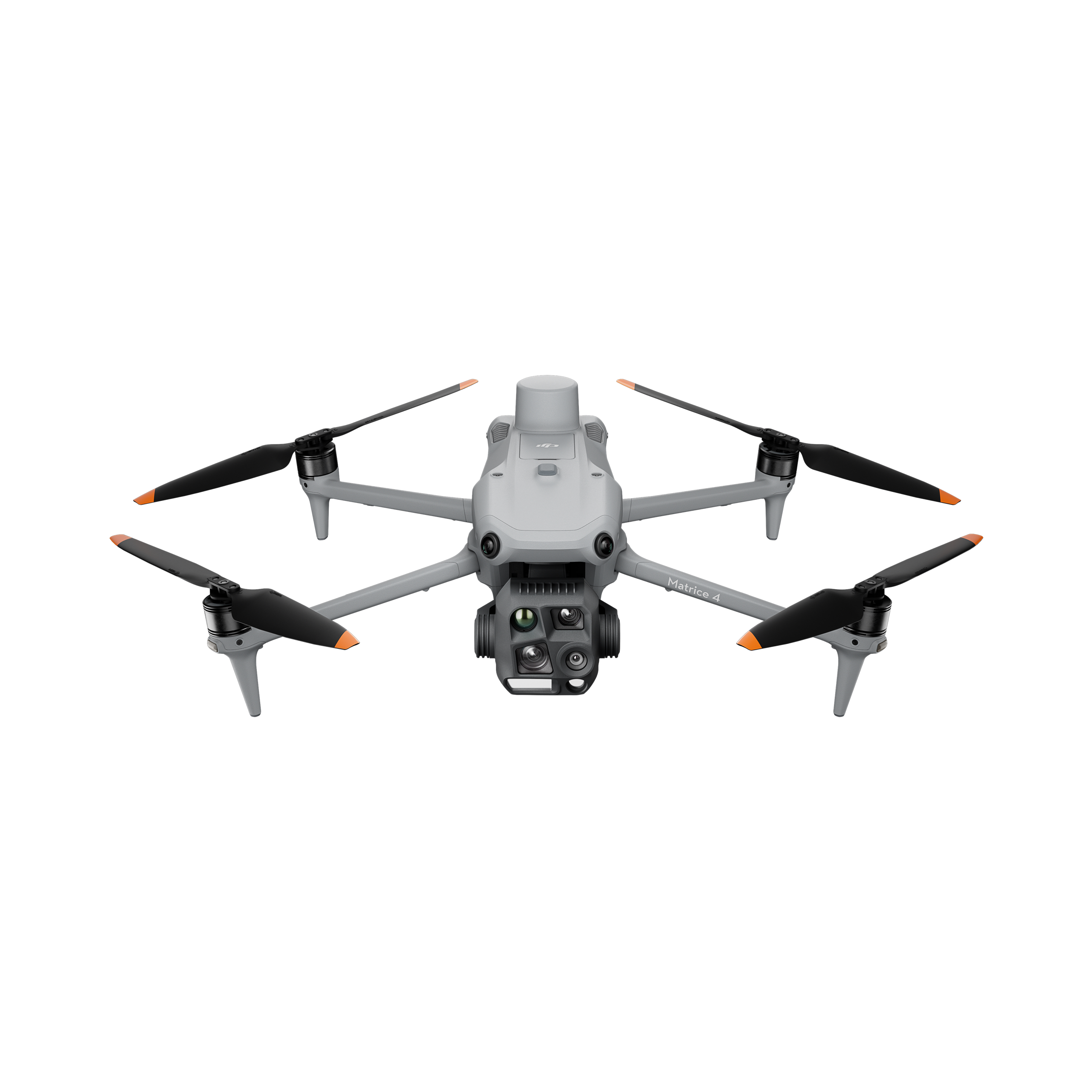
DJI Matrice 400
Matrice 400 is an enterprise aerial platform for mapping, infrastructure inspections and operational surveys. It combines long-endurance flight with rotating LiDAR and millimetre-wave radar sensing, and carries configurable imaging or specialist payloads. Cameras, sensors and mission equipment must be selected for the intended operation.
Contact manufacturer
Discuss your projectOverview
Best suited to
- Infrastructure inspection missions
- Professional mapping and surveys
Key specifications
| Maximum flight time | Up to 59 min under manufacturer test conditions |
|---|---|
| Maximum payload | 6 kg |
| Ingress protection | IP55 |
| Obstacle sensing | Rotating LiDAR and millimetre-wave radar |
Capabilities & strengths
- Up to 6 kg payload capacity
- LiDAR and millimetre-wave radar sensing
Important limitations
- Mission payloads and accessories depend on the selected configuration.
- 59-minute flight time is a laboratory maximum, not a loaded mission guarantee.
Compare alternatives
Related robots
Robots with a shared category or task. Compare their documented capabilities and deployment requirements.
Aerial robots
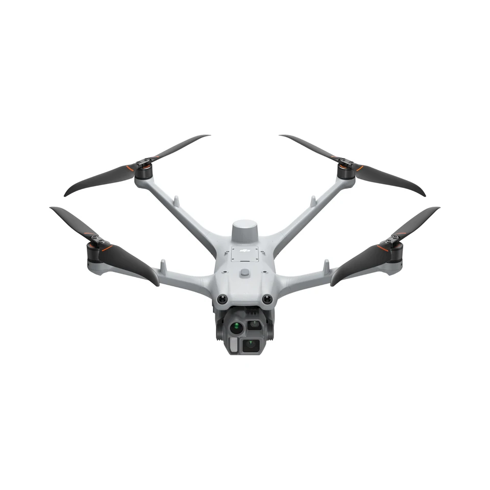
DJIMatrice 4D
Repeatable site imaging
- Runtime (conditions not specified)
- Up to 54 min
- Weight
- ≈ 1.85 kg
Price on request
Product documentation & sources
Product information checked on 2026-10-06. Manufacturer figures may use different configurations and test conditions.